
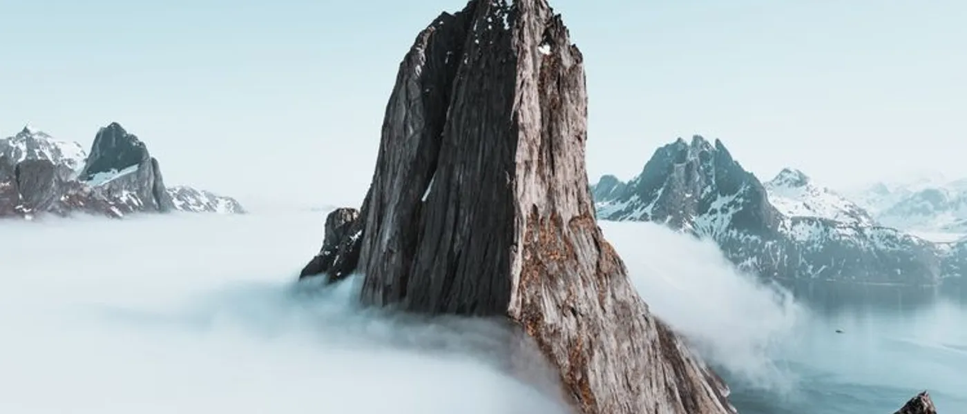
The GR20 is far more than a hiking trail: it is a living legend of world trekking. Crossing Corsica from north-west to south-east over 180 km, this iconic route links Calenzana (near Calvi) to Conca (above Porto-Vecchio), cutting through the mountainous heart of the Isle of Beauty. With a cumulative 12,800 m of ascent, technical rocky passages and jaw-dropping scenery, the GR20 draws thousands of hikers from around the world every year, all eager to take on the challenge.
GR20 overview
Created by the Corsican Regional Natural Park, the GR20 follows the island's watershed, passing through its highest peaks and wildest landscapes. The trail is split into 16 official stages, with Vizzavona station marking the divide between the northern and southern halves. It is waymarked with the red-and-white blazes used on all French GR trails.
The GR20 is the crown jewel of the Corsican hiking trail network. Its difficulty level, however, sets it well apart from the island's other routes.
GR20 stages: the northern section
The northern section of the GR20, from Calenzana to Vizzavona, is reputed to be the toughest. The first seven to eight stages cross alpine, rocky and steep terrain, with passages that require using your hands.
Stage 1: Calenzana - Ortu di u Piobbu
Elevation: +1,500 m / -200 m | Distance: 12 km |
Duration: 6-7 h
A brutal opening stage. The trail climbs immediately from Calenzana through the maquis
before reaching the first alpine pastures. Arriving at the Ortu di u Piobbu hut at
1,570 m already delivers a striking panorama over Balagne.
Stage 2: Ortu di u Piobbu - Carrozzu
Elevation: +700 m / -950 m | Distance: 7 km |
Duration: 5-6 h
A technical stage with a long, steep descent to the Carrozzu hut at 1,270 m. Granite-slab
passages demand concentration.
Stage 3: Carrozzu - Ascu Stagnu (Haut-Asco)
Elevation: +800 m / -700 m | Distance: 6 km |
Duration: 5-6 h
Crossing the Spasimata suspension bridge above a void, then climbing towards Lake Muvrella
before descending to Haut-Asco (ski station). One of the most spectacular sections.
Stage 4: Ascu Stagnu - Tighjettu
Elevation: +1,100 m / -600 m | Distance: 8 km |
Duration: 7-8 h
Widely considered the king stage of the GR20. The trail passes at the foot
of Monte Cinto (2,706 m), the highest point in Corsica, and crosses the
Col Perdu at 2,183 m. Boulder fields and technical slab passages make this stage formidable.
Stages 5 to 8: Tighjettu to Vizzavona
The following stages pass through the Ciottulu di i Mori, Manganu, Petra Piana and l'Onda huts, traversing glacial cirques, the Coscione plateau and granite ridgelines. Arriving in Vizzavona, on the edge of its magnificent beech and Laricio pine forest, marks the transition to the second half of the trek. It is a major resupply point served by train.
GR20 stages: the southern section
The southern section of the GR20, from Vizzavona to Conca, is generally considered less technical but remains physically demanding. The landscapes gradually shift: dense forests, high plateaux, maquis and the first glimpses of the sea.
Vizzavona to Usciolu (stages 9-12)
The trail crosses the Vizzavona forest before climbing back to the ridges. The E Capannelle, Prati and Usciolu huts punctuate the route. The Coscione plateau, a vast highland pasture dotted with pozzines (spongy peat meadows), offers an unexpected and restful landscape. Stages are long but the terrain is less rugged than in the north.
Usciolu to Conca (stages 13-16)
The final stages pass through the Asinau, Paliri and I Croci shelters. The passage through the Bavella Needles provides a grand finale. The trail descends steadily towards Conca, a village in the hinterland of the east coast, where hikers celebrate the end of their adventure. If this massif fascinates you, check out our dedicated guide to the Bavella Needles and the Trou de la Bombe.
Difficulty level and preparation
The GR20 is rated very difficult. The main challenges are:
- Significant elevation gains: 1,000 to 1,600 m of ascent per stage, carrying a 10-12 kg pack.
- Technical terrain: granite slabs, scree fields, easy scrambling (grade I-II) in the northern section.
- Exposed passages: some stretches follow ridges with drops on both sides.
- Weather conditions: violent thunderstorms possible at altitude, fog and strong winds on the crests.
- Self-sufficiency: limited resupply between huts; water must be carefully managed.
A minimum of 2 to 3 months' physical preparation is recommended. Practise mountain hikes with a loaded pack, build cardiovascular endurance and strengthen your quads and ankles. Good hiking gear is critical for both comfort and safety.
Essential gear for the GR20
Managing pack weight is crucial on the GR20. Every gram counts over 16 days of intense walking. Here is the essentials list:
Footwear and clothing
High-ankle hiking boots with Vibram soles are non-negotiable. Corsica's granite terrain is abrasive and slippery when wet. Add a breathable waterproof jacket (Gore-Tex or equivalent), a warm fleece, quick-dry technical clothing, hiking trousers, gaiters and a wide-brimmed hat for sun protection.
Bivouac gear
A sleeping bag rated to 5 °C comfort is needed for hut nights (blankets are not provided). A lightweight mat is essential if you bivouac. Telescopic trekking poles significantly ease the strain on your knees during steep descents.
Navigation and safety
Carry the IGN 4250 OT (GR20 north) and 4253 ET (south) maps, a compass, a GPS or phone with offline maps, a head torch with spare batteries, a first-aid kit and an emergency whistle. Mobile signal is non-existent across most of the route.
When to hike the GR20
Choosing the best season for the GR20 is a common question. The window falls between mid-June and mid-October:
- Mid-June to early July: residual snow possible above 2,000 m, but trails are quiet and days are long.
- July-August: optimal weather conditions but heavy crowds at the huts. Booking mandatory.
- September: the sweet spot -- settled weather, pleasant temperatures (15-25 °C) and moderate crowds.
- October: risky due to early snowfall and shortening days.
Alternatives and variations
If the full GR20 is too ambitious, several options are available. The northern half (Calenzana to Vizzavona, 8 days) concentrates the most spectacular passages. The southern half (Vizzavona to Conca, 8 days) is more accessible for intermediate hikers. You can also do individual stages as day loops from road access points.
For less demanding multi-day treks, the Mare a Mare and Mare e Monti trails offer a gentler crossing experience. And to explore other facets of Corsica, check out the guided excursions led by professionals who know the terrain inside out.
Practical tips for a successful GR20
Here are essential tips drawn from real-world experience on the trail:
- Start early: leave between 6 and 7 am to avoid the heat and afternoon thunderstorms.
- Manage your water: carry at least 2 litres and check on water sources along the way.
- Respect your pace: better to arrive late than to injure yourself rushing.
- Look after your feet: change socks at every break and treat blisters immediately.
- Lighten your pack: every item must earn its place. Weigh everything before departure.
- Book the huts: in high season, booking via the PNRC website is essential.
The GR20 is a demanding but deeply transformative adventure. Well prepared and properly equipped, you will enjoy one of the finest trekking experiences in Europe, right in the heart of Corsica's magnificent mountains.
Frequently asked questions
How many days does it take to hike the GR20?
How difficult is the GR20?
When should you hike the GR20 in Corsica?
What gear should you bring for the GR20?
Can you do the GR20 without training?
Ready to explore Corsica?
Check our guides to plan your excursions, hikes and boat trips to the most beautiful spots on the island.
See the full guide